The Longest Front
Real World Terrain Data
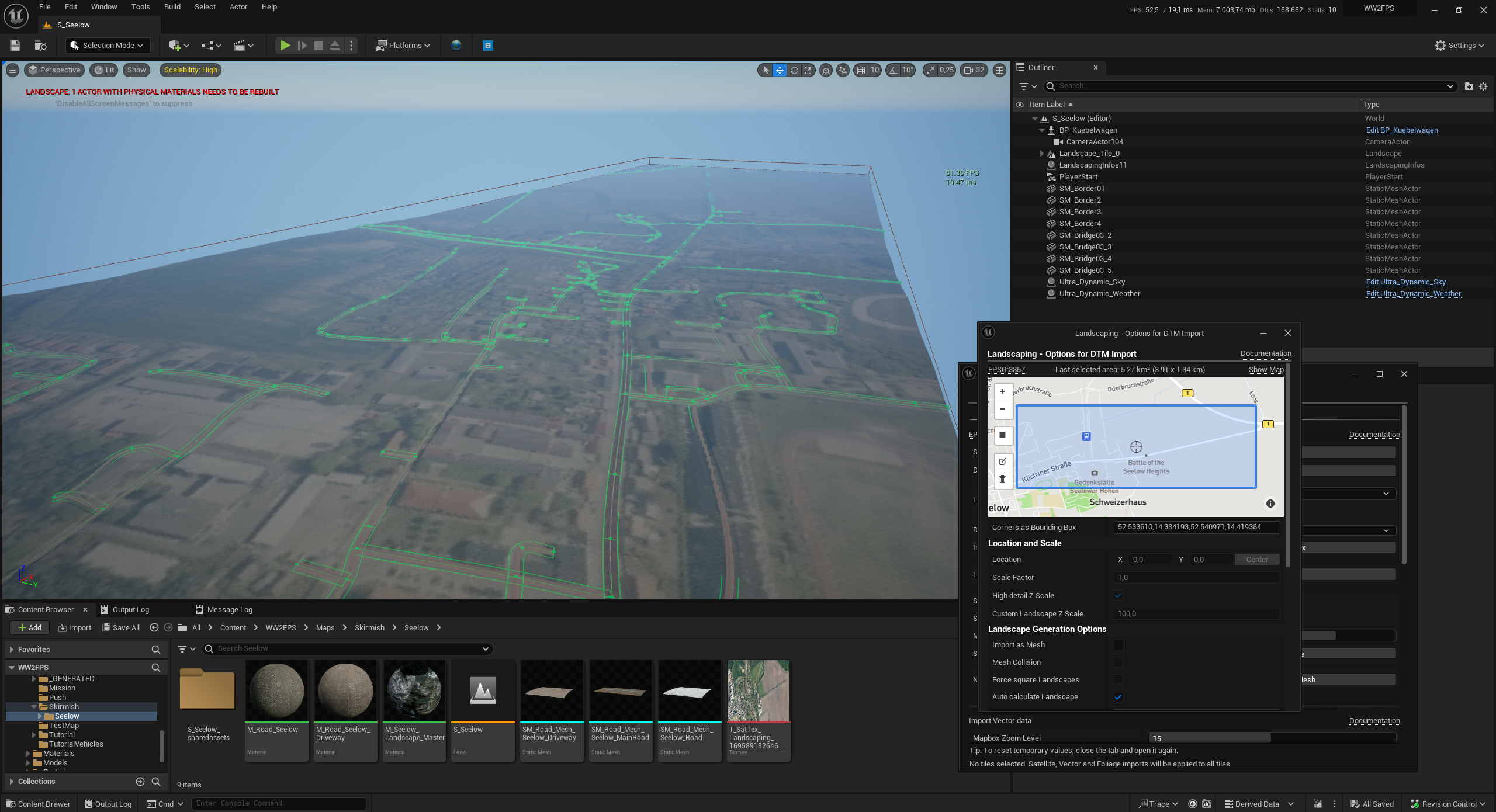
Starting a new map is never easy. One approach I'm trying at the moment is importing real world height data, satellite images and street splines as a starting point. For this I'm using the awesome Landscaping plugin for Unreal Engine. This approach allows using the actual locations where battles took place. In the image you can see a part of Seelow where the largest battle on German soil took place in World War 2.
This approach saves time, but there is still a lot of work involved in making a map:
- Cleaning up the splines and assigning road meshes
- Painting the terrain (the satellite image is very low resolution and can only be used as reference)
- Adding grass, trees and rocks
- Adding buildings and props
- Setting up control points and spawning
Next I'm going to explore how to maybe automate some of the using procedural tools.
Leave a comment
Log in with itch.io to leave a comment.